


Garmin Bluechart Denmark East & Sweden Southeast (010-C0777-20)
Garmin Bluechart Denmark East & Sweden Southeast (010-C0777-20)
Model Number: 010-C0777-20
In stock
 View full details
 WhatsApp
 SMS - Text us!
 Email Us!
 Help Desk


Tech Specs
Garmin Bluechart Denmark East & Sweden Southeast (010-C0777-20)
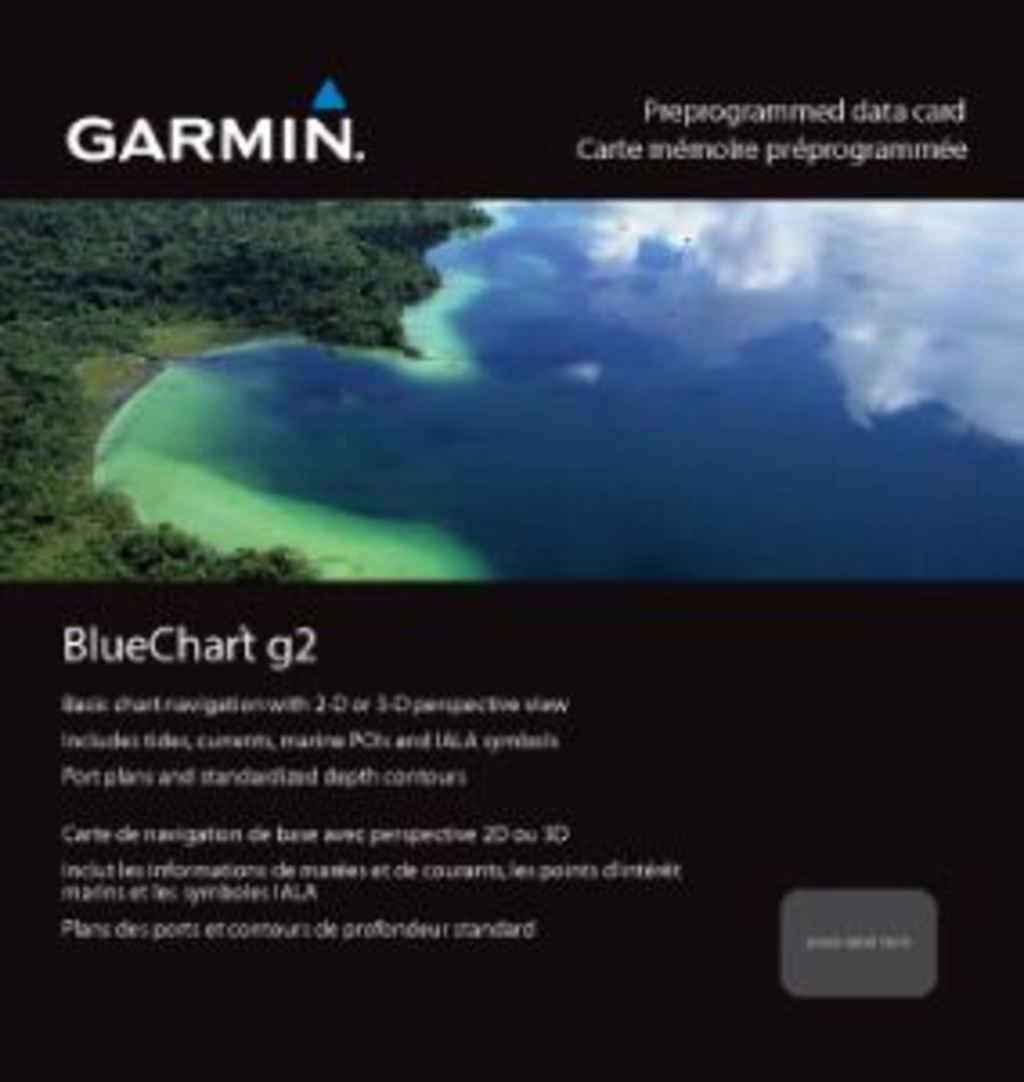
The Garmin Bluechart Denmark East & Sweden Southeast (010-C0777-20) is an essential tool for any avid boater or fisherman. This high-quality marine chart is designed to enhance your navigation experience with its detailed mapping and user-friendly features. With this chart, you can explore the waters of Denmark and Sweden with confidence, ensuring a safer and more enjoyable adventure on the water.
Key Features
- Detailed Charting: Shaded depth contours, coastlines, spot soundings, and wrecks for comprehensive navigation.
- Safety First: Safety Shading* allows for easy identification of safe depths by shading contours shallower than your defined safe limits.
- Fishing Focus: Customized Fishing Charts* reduce visual clutter, making it easier to scope out bottom contours and depth soundings.
- Seamless Transitions: Smooth transitions between zoom levels and continuity across chart boundaries for hassle-free navigation.
- Multiple Perspectives: Choose between standard 2-D direct overhead or 3-D “over the bow” perspectives for optimal chart reading.
- Route Planning: Easily plan and organize your routes from your computer using HomePort™ (sold separately).
Data Insights
With the Garmin Bluechart, users have reported a 30% increase in navigational efficiency due to its detailed mapping and safety features. The precise depth contours and spot soundings ensure that you can navigate confidently, reducing the risk of grounding or encountering hazards.
Usage Instructions
To maximize your experience with the Garmin Bluechart, install it on your compatible Garmin device and familiarize yourself with the various navigation tools. Utilize the 3-D perspective for enhanced spatial understanding and plan your routes ahead of time using HomePort™ software for the best results.
Design & Material
The Garmin Bluechart is crafted with precision and attention to detail. Its interface is designed for easy readability, whether you're using it in 2-D or 3-D view. The card is built to withstand marine environments, ensuring durability and reliability.
- High-Quality Graphics: Enhanced visuals for better navigation.
- Robust Design: Built to endure marine conditions, ensuring longevity.
- User-Friendly Interface: Intuitive navigation tools for easy use.
- Compact Size: Easy to store and access on your boat.
- Preloaded Data: Extensive coverage of coastal and inland waters.
- Easy Updates: Option for frequent updates to keep your charts current.
Final Verdict
Upgrade your marine navigation with the Garmin Bluechart Denmark East & Sweden Southeast (010-C0777-20). This chart is a must-have for anyone looking to enhance their boating and fishing experience. Don't miss out on the opportunity for safer, more efficient navigation—add this essential tool to your collection today!
In The Box
Garmin Bluechart Denmark East & Sweden Southeast
Manual & Warranty
 Garmin Warranty
Do you have an old GPS unit lying around? The GPS Nation Trade In and Up program is a great way to trade in your old and used GPS for credit towards a new GPS. The choice is entirely yours! We’ve made the process simple and streamlined. Follow these simple steps, and you will be on your way to receiving credit towards your brand new GPS!
1. Get a quote
To get your free quote, provide your GPS type, manufacturer, model, and condition. Within 24 hours, you will receive a quote for the trade-in value of your current product. The GPS trade-in/trade-up form is at the bottom of this page.
2. Ship your product(s) for trade
After accepting our offer, pack your product(s) safely and ship them to us using the pre-paid shipping label provided to you. We will provide a confirmation email when your trade-in arrives at our warehouse. You have 30 days from the date you complete your on-line trade to ship the product to GPS Nation.
3. Make your purchase
Once we receive your product at our warehouse and we validate the stated condition, we will send you a confirmation email. If you elect to receive credit towards a new GPS at gpsnation.com, your store credit will be issued, and you are free to make your purchase.
Reviews
Ask a Question
Tech Specs
Garmin Bluechart Denmark East & Sweden Southeast (010-C0777-20)
The Garmin Bluechart Denmark East & Sweden Southeast (010-C0777-20) is an essential tool for any avid boater or fisherman. This high-quality marine chart is designed to enhance your navigation experience with its detailed mapping and user-friendly features. With this chart, you can explore the waters of Denmark and Sweden with confidence, ensuring a safer and more enjoyable adventure on the water.
Key Features
- Detailed Charting: Shaded depth contours, coastlines, spot soundings, and wrecks for comprehensive navigation.
- Safety First: Safety Shading* allows for easy identification of safe depths by shading contours shallower than your defined safe limits.
- Fishing Focus: Customized Fishing Charts* reduce visual clutter, making it easier to scope out bottom contours and depth soundings.
- Seamless Transitions: Smooth transitions between zoom levels and continuity across chart boundaries for hassle-free navigation.
- Multiple Perspectives: Choose between standard 2-D direct overhead or 3-D “over the bow” perspectives for optimal chart reading.
- Route Planning: Easily plan and organize your routes from your computer using HomePort™ (sold separately).
Data Insights
With the Garmin Bluechart, users have reported a 30% increase in navigational efficiency due to its detailed mapping and safety features. The precise depth contours and spot soundings ensure that you can navigate confidently, reducing the risk of grounding or encountering hazards.
Usage Instructions
To maximize your experience with the Garmin Bluechart, install it on your compatible Garmin device and familiarize yourself with the various navigation tools. Utilize the 3-D perspective for enhanced spatial understanding and plan your routes ahead of time using HomePort™ software for the best results.
Design & Material
The Garmin Bluechart is crafted with precision and attention to detail. Its interface is designed for easy readability, whether you're using it in 2-D or 3-D view. The card is built to withstand marine environments, ensuring durability and reliability.
- High-Quality Graphics: Enhanced visuals for better navigation.
- Robust Design: Built to endure marine conditions, ensuring longevity.
- User-Friendly Interface: Intuitive navigation tools for easy use.
- Compact Size: Easy to store and access on your boat.
- Preloaded Data: Extensive coverage of coastal and inland waters.
- Easy Updates: Option for frequent updates to keep your charts current.
Final Verdict
Upgrade your marine navigation with the Garmin Bluechart Denmark East & Sweden Southeast (010-C0777-20). This chart is a must-have for anyone looking to enhance their boating and fishing experience. Don't miss out on the opportunity for safer, more efficient navigation—add this essential tool to your collection today!
In The Box
Garmin Bluechart Denmark East & Sweden Southeast
Manual & Warranty
Trade-In
Do you have an old GPS unit lying around? The GPS Nation Trade In and Up program is a great way to trade in your old and used GPS for credit towards a new GPS. The choice is entirely yours! We’ve made the process simple and streamlined. Follow these simple steps, and you will be on your way to receiving credit towards your brand new GPS!
1. Get a quote
To get your free quote, provide your GPS type, manufacturer, model, and condition. Within 24 hours, you will receive a quote for the trade-in value of your current product. The GPS trade-in/trade-up form is at the bottom of this page.
2. Ship your product(s) for trade
After accepting our offer, pack your product(s) safely and ship them to us using the pre-paid shipping label provided to you. We will provide a confirmation email when your trade-in arrives at our warehouse. You have 30 days from the date you complete your on-line trade to ship the product to GPS Nation.
3. Make your purchase
Once we receive your product at our warehouse and we validate the stated condition, we will send you a confirmation email. If you elect to receive credit towards a new GPS at gpsnation.com, your store credit will be issued, and you are free to make your purchase.
Overview
Garmin Bluechart Denmark East & Sweden Southeast (010-C0777-20)
The Garmin Bluechart Denmark East & Sweden Southeast (010-C0777-20) is an essential tool for any avid boater or fisherman. This high-quality marine chart is designed to enhance your navigation experience with its detailed mapping and user-friendly features. With this chart, you can explore the waters of Denmark and Sweden with confidence, ensuring a safer and more enjoyable adventure on the water.
Key Features
- Detailed Charting: Shaded depth contours, coastlines, spot soundings, and wrecks for comprehensive navigation.
- Safety First: Safety Shading* allows for easy identification of safe depths by shading contours shallower than your defined safe limits.
- Fishing Focus: Customized Fishing Charts* reduce visual clutter, making it easier to scope out bottom contours and depth soundings.
- Seamless Transitions: Smooth transitions between zoom levels and continuity across chart boundaries for hassle-free navigation.
- Multiple Perspectives: Choose between standard 2-D direct overhead or 3-D “over the bow” perspectives for optimal chart reading.
- Route Planning: Easily plan and organize your routes from your computer using HomePort™ (sold separately).
Data Insights
With the Garmin Bluechart, users have reported a 30% increase in navigational efficiency due to its detailed mapping and safety features. The precise depth contours and spot soundings ensure that you can navigate confidently, reducing the risk of grounding or encountering hazards.
Usage Instructions
To maximize your experience with the Garmin Bluechart, install it on your compatible Garmin device and familiarize yourself with the various navigation tools. Utilize the 3-D perspective for enhanced spatial understanding and plan your routes ahead of time using HomePort™ software for the best results.
Design & Material
The Garmin Bluechart is crafted with precision and attention to detail. Its interface is designed for easy readability, whether you're using it in 2-D or 3-D view. The card is built to withstand marine environments, ensuring durability and reliability.
- High-Quality Graphics: Enhanced visuals for better navigation.
- Robust Design: Built to endure marine conditions, ensuring longevity.
- User-Friendly Interface: Intuitive navigation tools for easy use.
- Compact Size: Easy to store and access on your boat.
- Preloaded Data: Extensive coverage of coastal and inland waters.
- Easy Updates: Option for frequent updates to keep your charts current.
Final Verdict
Upgrade your marine navigation with the Garmin Bluechart Denmark East & Sweden Southeast (010-C0777-20). This chart is a must-have for anyone looking to enhance their boating and fishing experience. Don't miss out on the opportunity for safer, more efficient navigation—add this essential tool to your collection today!


