


Garmin Bluechart G2 Vision English Channel, Central-East (010-C0800-00)
Garmin Bluechart G2 Vision English Channel, Central-East (010-C0800-00)
Model Number: 010-C0800-00
In stock
 View full details
 WhatsApp
 SMS - Text us!
 Email Us!
 Help Desk


Tech Specs
Garmin Bluechart G2 Vision English Channel, Central-East (010-C0800-00)
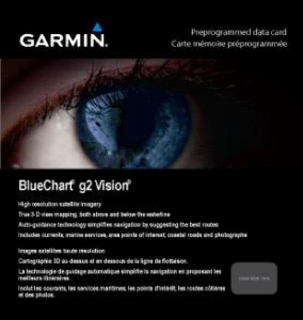
Navigate the bustling waters of the English Channel with unparalleled confidence using the Garmin Bluechart G2 Vision. This sophisticated charting solution is engineered for both seasoned mariners and avid fishing enthusiasts. With advanced features and high-quality visuals, it enhances your navigational experience, ensuring safer and more efficient journeys on the water.
Key Features
- Detailed Charting: Access shaded depth contours, coastlines, spot soundings, navaids, port plans, and more for comprehensive navigation.
- Seamless Zoom Transitions: Experience smooth transitions between zoom levels, enhancing the continuity across chart boundaries.
- High-Resolution Imagery: Benefit from top-tier satellite imagery, providing a realistic view of both land and water.
- Aerial Photos: Obtain aerial images of ports, harbors, and navigational landmarks for improved situational awareness.
- Auto Guidance Technology: Let the system suggest the optimal passage to your destination by searching through extensive chart data.
- Safety Shading: Activate contour shading for all depth contours shallower than your defined safe depths, enhancing your navigation safety.
Data Insights
The Garmin Bluechart G2 Vision boasts an impressive coverage area, including detailed mapping from Weymouth to Ramsgate along the British coast. This encompasses key locations such as Southampton and Portsmouth, as well as the French coast from Saint-Brieuc to Dunkerque. With a focus on performance, users can navigate with up to 90% fewer visual distractions thanks to the optimized fishing charts, enhancing focus on bottom contours and depth soundings.
Usage Instructions
For optimal results, install the Garmin Bluechart G2 Vision using compatible Garmin devices. Access the HomePort™ software (sold separately) to plan and organize your routes effectively. When out on the water, utilize the Auto Guidance feature to simplify navigation and ensure safe passage through challenging waters.
Design & Material
This charting solution features a sleek and user-friendly design that prioritizes functionality. Each aspect, from its intuitive interface to its high-resolution displays, is crafted to enhance the user experience.
- Craftsmanship: Precision-engineered for marine environments.
- Durability: Designed to withstand the rigors of maritime navigation.
- User-Friendly Interface: Features a straightforward layout for easy navigation.
- Advanced Technology: Utilizes cutting-edge mapping technology for accurate positioning.
- Compact Design: Easily fits in standard chart slots on compatible devices.
- Visual Clarity: High-resolution visuals ensure clear visibility, even in challenging conditions.
Final Verdict
Upgrade your maritime adventures with the Garmin Bluechart G2 Vision English Channel, Central-East. This essential charting companion not only enhances safety but also elevates your overall navigation experience. Don't miss out on the opportunity to navigate with precision—secure yours today!
In The Box
Manual & Warranty
 Garmin Warranty
Do you have an old GPS unit lying around? The GPS Nation Trade In and Up program is a great way to trade in your old and used GPS for credit towards a new GPS. The choice is entirely yours! We’ve made the process simple and streamlined. Follow these simple steps, and you will be on your way to receiving credit towards your brand new GPS!
1. Get a quote
To get your free quote, provide your GPS type, manufacturer, model, and condition. Within 24 hours, you will receive a quote for the trade-in value of your current product. The GPS trade-in/trade-up form is at the bottom of this page.
2. Ship your product(s) for trade
After accepting our offer, pack your product(s) safely and ship them to us using the pre-paid shipping label provided to you. We will provide a confirmation email when your trade-in arrives at our warehouse. You have 30 days from the date you complete your on-line trade to ship the product to GPS Nation.
3. Make your purchase
Once we receive your product at our warehouse and we validate the stated condition, we will send you a confirmation email. If you elect to receive credit towards a new GPS at gpsnation.com, your store credit will be issued, and you are free to make your purchase.
Reviews
Ask a Question
Tech Specs
Garmin Bluechart G2 Vision English Channel, Central-East (010-C0800-00)
Navigate the bustling waters of the English Channel with unparalleled confidence using the Garmin Bluechart G2 Vision. This sophisticated charting solution is engineered for both seasoned mariners and avid fishing enthusiasts. With advanced features and high-quality visuals, it enhances your navigational experience, ensuring safer and more efficient journeys on the water.
Key Features
- Detailed Charting: Access shaded depth contours, coastlines, spot soundings, navaids, port plans, and more for comprehensive navigation.
- Seamless Zoom Transitions: Experience smooth transitions between zoom levels, enhancing the continuity across chart boundaries.
- High-Resolution Imagery: Benefit from top-tier satellite imagery, providing a realistic view of both land and water.
- Aerial Photos: Obtain aerial images of ports, harbors, and navigational landmarks for improved situational awareness.
- Auto Guidance Technology: Let the system suggest the optimal passage to your destination by searching through extensive chart data.
- Safety Shading: Activate contour shading for all depth contours shallower than your defined safe depths, enhancing your navigation safety.
Data Insights
The Garmin Bluechart G2 Vision boasts an impressive coverage area, including detailed mapping from Weymouth to Ramsgate along the British coast. This encompasses key locations such as Southampton and Portsmouth, as well as the French coast from Saint-Brieuc to Dunkerque. With a focus on performance, users can navigate with up to 90% fewer visual distractions thanks to the optimized fishing charts, enhancing focus on bottom contours and depth soundings.
Usage Instructions
For optimal results, install the Garmin Bluechart G2 Vision using compatible Garmin devices. Access the HomePort™ software (sold separately) to plan and organize your routes effectively. When out on the water, utilize the Auto Guidance feature to simplify navigation and ensure safe passage through challenging waters.
Design & Material
This charting solution features a sleek and user-friendly design that prioritizes functionality. Each aspect, from its intuitive interface to its high-resolution displays, is crafted to enhance the user experience.
- Craftsmanship: Precision-engineered for marine environments.
- Durability: Designed to withstand the rigors of maritime navigation.
- User-Friendly Interface: Features a straightforward layout for easy navigation.
- Advanced Technology: Utilizes cutting-edge mapping technology for accurate positioning.
- Compact Design: Easily fits in standard chart slots on compatible devices.
- Visual Clarity: High-resolution visuals ensure clear visibility, even in challenging conditions.
Final Verdict
Upgrade your maritime adventures with the Garmin Bluechart G2 Vision English Channel, Central-East. This essential charting companion not only enhances safety but also elevates your overall navigation experience. Don't miss out on the opportunity to navigate with precision—secure yours today!
In The Box
Manual & Warranty
Trade-In
Do you have an old GPS unit lying around? The GPS Nation Trade In and Up program is a great way to trade in your old and used GPS for credit towards a new GPS. The choice is entirely yours! We’ve made the process simple and streamlined. Follow these simple steps, and you will be on your way to receiving credit towards your brand new GPS!
1. Get a quote
To get your free quote, provide your GPS type, manufacturer, model, and condition. Within 24 hours, you will receive a quote for the trade-in value of your current product. The GPS trade-in/trade-up form is at the bottom of this page.
2. Ship your product(s) for trade
After accepting our offer, pack your product(s) safely and ship them to us using the pre-paid shipping label provided to you. We will provide a confirmation email when your trade-in arrives at our warehouse. You have 30 days from the date you complete your on-line trade to ship the product to GPS Nation.
3. Make your purchase
Once we receive your product at our warehouse and we validate the stated condition, we will send you a confirmation email. If you elect to receive credit towards a new GPS at gpsnation.com, your store credit will be issued, and you are free to make your purchase.
Overview
Garmin Bluechart G2 Vision English Channel, Central-East (010-C0800-00)
Navigate the bustling waters of the English Channel with unparalleled confidence using the Garmin Bluechart G2 Vision. This sophisticated charting solution is engineered for both seasoned mariners and avid fishing enthusiasts. With advanced features and high-quality visuals, it enhances your navigational experience, ensuring safer and more efficient journeys on the water.
Key Features
- Detailed Charting: Access shaded depth contours, coastlines, spot soundings, navaids, port plans, and more for comprehensive navigation.
- Seamless Zoom Transitions: Experience smooth transitions between zoom levels, enhancing the continuity across chart boundaries.
- High-Resolution Imagery: Benefit from top-tier satellite imagery, providing a realistic view of both land and water.
- Aerial Photos: Obtain aerial images of ports, harbors, and navigational landmarks for improved situational awareness.
- Auto Guidance Technology: Let the system suggest the optimal passage to your destination by searching through extensive chart data.
- Safety Shading: Activate contour shading for all depth contours shallower than your defined safe depths, enhancing your navigation safety.
Data Insights
The Garmin Bluechart G2 Vision boasts an impressive coverage area, including detailed mapping from Weymouth to Ramsgate along the British coast. This encompasses key locations such as Southampton and Portsmouth, as well as the French coast from Saint-Brieuc to Dunkerque. With a focus on performance, users can navigate with up to 90% fewer visual distractions thanks to the optimized fishing charts, enhancing focus on bottom contours and depth soundings.
Usage Instructions
For optimal results, install the Garmin Bluechart G2 Vision using compatible Garmin devices. Access the HomePort™ software (sold separately) to plan and organize your routes effectively. When out on the water, utilize the Auto Guidance feature to simplify navigation and ensure safe passage through challenging waters.
Design & Material
This charting solution features a sleek and user-friendly design that prioritizes functionality. Each aspect, from its intuitive interface to its high-resolution displays, is crafted to enhance the user experience.
- Craftsmanship: Precision-engineered for marine environments.
- Durability: Designed to withstand the rigors of maritime navigation.
- User-Friendly Interface: Features a straightforward layout for easy navigation.
- Advanced Technology: Utilizes cutting-edge mapping technology for accurate positioning.
- Compact Design: Easily fits in standard chart slots on compatible devices.
- Visual Clarity: High-resolution visuals ensure clear visibility, even in challenging conditions.
Final Verdict
Upgrade your maritime adventures with the Garmin Bluechart G2 Vision English Channel, Central-East. This essential charting companion not only enhances safety but also elevates your overall navigation experience. Don't miss out on the opportunity to navigate with precision—secure yours today!


