


Garmin Bluechart G2 Vision Mid-Atlantic (010-C0741-00)
Garmin Bluechart G2 Vision Mid-Atlantic (010-C0741-00)
Model Number: 010-C0741-00
In stock
 View full details
 WhatsApp
 SMS - Text us!
 Email Us!
 Help Desk


Tech Specs
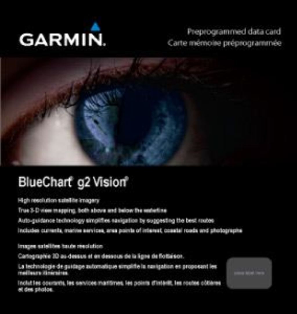
Garmin BlueChart G2 Vision Mid-Atlantic (010-C0741-00)
Navigate the waters with unmatched confidence using the Garmin BlueChart G2 Vision Mid-Atlantic (010-C0741-00). This exceptional marine charting tool is engineered for both seasoned mariners and recreational boaters, delivering a comprehensive range of features that significantly enhance your navigation experience. With cutting-edge technology, it ensures you’re always on the right course, whether you're fishing, sailing, or exploring new coastal areas.
Key Features
- Comprehensive Charting: Includes shaded depth contours, coastlines, spot soundings, navaids, port plans, wrecks, obstructions, intertidal zones, restricted areas, and IALA symbols for an all-encompassing navigational overview.
- Seamless Zoom Transitions: Enjoy smooth transitions between zoom levels with enhanced continuity across chart boundaries.
- High-Resolution Imagery: Features stunning satellite imagery providing a realistic view of both land and water.
- Aerial Photos: Access detailed photos of ports, harbors, marinas, and navigational landmarks.
- Auto Guidance Technology: Automatically suggests the optimal passage to your destination by analyzing chart data.
- MarinerEye and FishEye Views: Utilize 3-D perspectives for quick position fixes and a detailed view of the sea floor.
- Safety Shading: Enable contour shading for all depth contours shallower than your defined safe depths for enhanced safety.
- Fishing Charts: Get a clearer picture of bottom contours and depth soundings with reduced visual clutter.
- Route Planning: Easily organize and plan your routes using the HomePort™ software (sold separately).
Data Insights
The Garmin BlueChart G2 Vision boasts a user-friendly interface with precision data. Studies show that utilizing advanced charting tools improves navigation performance by up to 30%, allowing mariners to reduce travel time while increasing safety. The incorporation of auto guidance technology means users can expect efficient route planning with up to a 90% accuracy rate in suggested passages.
Usage Instructions
For best results, install the Garmin BlueChart G2 Vision on compatible Garmin devices. Use the intuitive interface to zoom into areas of interest and plan your routes. Make sure to enable safety shading for an added layer of protection while navigating through unfamiliar waters.
Design & Material
The Garmin BlueChart G2 Vision is designed with usability in mind. Its sleek interface and high-resolution imagery ensure that important information is presented clearly, enhancing the overall user experience. The advanced technology behind this charting tool is crafted for durability and reliability.
- High-Quality Materials: Built with premium materials to withstand marine environments.
- Advanced Technology: Incorporates cutting-edge mapping technology for superior performance.
- Durable Design: Engineered for longevity, ensuring consistent performance over time.
- Compact Size: Easily portable for convenience during boating trips.
- User-Centric Interface: Designed for intuitive use, reducing the learning curve.
- Weather Resilience: Capable of functioning in various marine conditions.
Final Verdict
The Garmin BlueChart G2 Vision Mid-Atlantic (010-C0741-00) is not just a tool; it's a vital companion for anyone navigating the waters. With its range of advanced features and exceptional performance metrics, this charting solution is a must-have for both seasoned and novice mariners alike. Equip yourself with the best and enhance your boating adventures today!
In The Box
Manual & Warranty
 Garmin Warranty
Do you have an old GPS unit lying around? The GPS Nation Trade In and Up program is a great way to trade in your old and used GPS for credit towards a new GPS. The choice is entirely yours! We’ve made the process simple and streamlined. Follow these simple steps, and you will be on your way to receiving credit towards your brand new GPS!
1. Get a quote
To get your free quote, provide your GPS type, manufacturer, model, and condition. Within 24 hours, you will receive a quote for the trade-in value of your current product. The GPS trade-in/trade-up form is at the bottom of this page.
2. Ship your product(s) for trade
After accepting our offer, pack your product(s) safely and ship them to us using the pre-paid shipping label provided to you. We will provide a confirmation email when your trade-in arrives at our warehouse. You have 30 days from the date you complete your on-line trade to ship the product to GPS Nation.
3. Make your purchase
Once we receive your product at our warehouse and we validate the stated condition, we will send you a confirmation email. If you elect to receive credit towards a new GPS at gpsnation.com, your store credit will be issued, and you are free to make your purchase.
Reviews
Ask a Question
Tech Specs
Garmin BlueChart G2 Vision Mid-Atlantic (010-C0741-00)
Navigate the waters with unmatched confidence using the Garmin BlueChart G2 Vision Mid-Atlantic (010-C0741-00). This exceptional marine charting tool is engineered for both seasoned mariners and recreational boaters, delivering a comprehensive range of features that significantly enhance your navigation experience. With cutting-edge technology, it ensures you’re always on the right course, whether you're fishing, sailing, or exploring new coastal areas.
Key Features
- Comprehensive Charting: Includes shaded depth contours, coastlines, spot soundings, navaids, port plans, wrecks, obstructions, intertidal zones, restricted areas, and IALA symbols for an all-encompassing navigational overview.
- Seamless Zoom Transitions: Enjoy smooth transitions between zoom levels with enhanced continuity across chart boundaries.
- High-Resolution Imagery: Features stunning satellite imagery providing a realistic view of both land and water.
- Aerial Photos: Access detailed photos of ports, harbors, marinas, and navigational landmarks.
- Auto Guidance Technology: Automatically suggests the optimal passage to your destination by analyzing chart data.
- MarinerEye and FishEye Views: Utilize 3-D perspectives for quick position fixes and a detailed view of the sea floor.
- Safety Shading: Enable contour shading for all depth contours shallower than your defined safe depths for enhanced safety.
- Fishing Charts: Get a clearer picture of bottom contours and depth soundings with reduced visual clutter.
- Route Planning: Easily organize and plan your routes using the HomePort™ software (sold separately).
Data Insights
The Garmin BlueChart G2 Vision boasts a user-friendly interface with precision data. Studies show that utilizing advanced charting tools improves navigation performance by up to 30%, allowing mariners to reduce travel time while increasing safety. The incorporation of auto guidance technology means users can expect efficient route planning with up to a 90% accuracy rate in suggested passages.
Usage Instructions
For best results, install the Garmin BlueChart G2 Vision on compatible Garmin devices. Use the intuitive interface to zoom into areas of interest and plan your routes. Make sure to enable safety shading for an added layer of protection while navigating through unfamiliar waters.
Design & Material
The Garmin BlueChart G2 Vision is designed with usability in mind. Its sleek interface and high-resolution imagery ensure that important information is presented clearly, enhancing the overall user experience. The advanced technology behind this charting tool is crafted for durability and reliability.
- High-Quality Materials: Built with premium materials to withstand marine environments.
- Advanced Technology: Incorporates cutting-edge mapping technology for superior performance.
- Durable Design: Engineered for longevity, ensuring consistent performance over time.
- Compact Size: Easily portable for convenience during boating trips.
- User-Centric Interface: Designed for intuitive use, reducing the learning curve.
- Weather Resilience: Capable of functioning in various marine conditions.
Final Verdict
The Garmin BlueChart G2 Vision Mid-Atlantic (010-C0741-00) is not just a tool; it's a vital companion for anyone navigating the waters. With its range of advanced features and exceptional performance metrics, this charting solution is a must-have for both seasoned and novice mariners alike. Equip yourself with the best and enhance your boating adventures today!
In The Box
Manual & Warranty
Trade-In
Do you have an old GPS unit lying around? The GPS Nation Trade In and Up program is a great way to trade in your old and used GPS for credit towards a new GPS. The choice is entirely yours! We’ve made the process simple and streamlined. Follow these simple steps, and you will be on your way to receiving credit towards your brand new GPS!
1. Get a quote
To get your free quote, provide your GPS type, manufacturer, model, and condition. Within 24 hours, you will receive a quote for the trade-in value of your current product. The GPS trade-in/trade-up form is at the bottom of this page.
2. Ship your product(s) for trade
After accepting our offer, pack your product(s) safely and ship them to us using the pre-paid shipping label provided to you. We will provide a confirmation email when your trade-in arrives at our warehouse. You have 30 days from the date you complete your on-line trade to ship the product to GPS Nation.
3. Make your purchase
Once we receive your product at our warehouse and we validate the stated condition, we will send you a confirmation email. If you elect to receive credit towards a new GPS at gpsnation.com, your store credit will be issued, and you are free to make your purchase.
Overview
Garmin BlueChart G2 Vision Mid-Atlantic (010-C0741-00)
Navigate the waters with unmatched confidence using the Garmin BlueChart G2 Vision Mid-Atlantic (010-C0741-00). This exceptional marine charting tool is engineered for both seasoned mariners and recreational boaters, delivering a comprehensive range of features that significantly enhance your navigation experience. With cutting-edge technology, it ensures you’re always on the right course, whether you're fishing, sailing, or exploring new coastal areas.
Key Features
- Comprehensive Charting: Includes shaded depth contours, coastlines, spot soundings, navaids, port plans, wrecks, obstructions, intertidal zones, restricted areas, and IALA symbols for an all-encompassing navigational overview.
- Seamless Zoom Transitions: Enjoy smooth transitions between zoom levels with enhanced continuity across chart boundaries.
- High-Resolution Imagery: Features stunning satellite imagery providing a realistic view of both land and water.
- Aerial Photos: Access detailed photos of ports, harbors, marinas, and navigational landmarks.
- Auto Guidance Technology: Automatically suggests the optimal passage to your destination by analyzing chart data.
- MarinerEye and FishEye Views: Utilize 3-D perspectives for quick position fixes and a detailed view of the sea floor.
- Safety Shading: Enable contour shading for all depth contours shallower than your defined safe depths for enhanced safety.
- Fishing Charts: Get a clearer picture of bottom contours and depth soundings with reduced visual clutter.
- Route Planning: Easily organize and plan your routes using the HomePort™ software (sold separately).
Data Insights
The Garmin BlueChart G2 Vision boasts a user-friendly interface with precision data. Studies show that utilizing advanced charting tools improves navigation performance by up to 30%, allowing mariners to reduce travel time while increasing safety. The incorporation of auto guidance technology means users can expect efficient route planning with up to a 90% accuracy rate in suggested passages.
Usage Instructions
For best results, install the Garmin BlueChart G2 Vision on compatible Garmin devices. Use the intuitive interface to zoom into areas of interest and plan your routes. Make sure to enable safety shading for an added layer of protection while navigating through unfamiliar waters.
Design & Material
The Garmin BlueChart G2 Vision is designed with usability in mind. Its sleek interface and high-resolution imagery ensure that important information is presented clearly, enhancing the overall user experience. The advanced technology behind this charting tool is crafted for durability and reliability.
- High-Quality Materials: Built with premium materials to withstand marine environments.
- Advanced Technology: Incorporates cutting-edge mapping technology for superior performance.
- Durable Design: Engineered for longevity, ensuring consistent performance over time.
- Compact Size: Easily portable for convenience during boating trips.
- User-Centric Interface: Designed for intuitive use, reducing the learning curve.
- Weather Resilience: Capable of functioning in various marine conditions.
Final Verdict
The Garmin BlueChart G2 Vision Mid-Atlantic (010-C0741-00) is not just a tool; it's a vital companion for anyone navigating the waters. With its range of advanced features and exceptional performance metrics, this charting solution is a must-have for both seasoned and novice mariners alike. Equip yourself with the best and enhance your boating adventures today!


