


Garmin Bluechart G2 Vision Tampa-New Orleans (010-C0713-00)
Garmin Bluechart G2 Vision Tampa-New Orleans (010-C0713-00)
Model Number: 010-C0713-00
In stock
 WhatsApp
 SMS - Text us!
 Email Us!
 Help Desk

Tech Specs
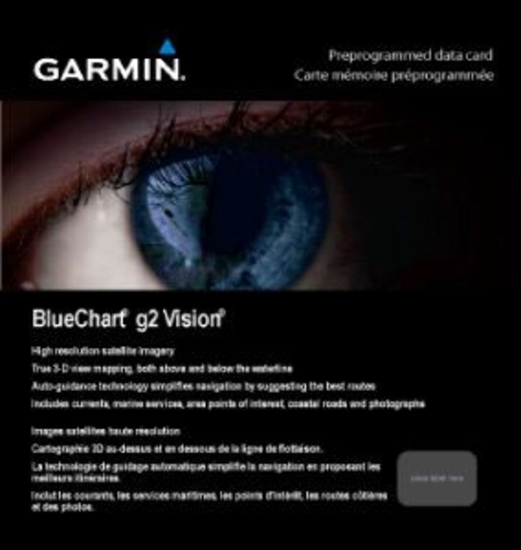
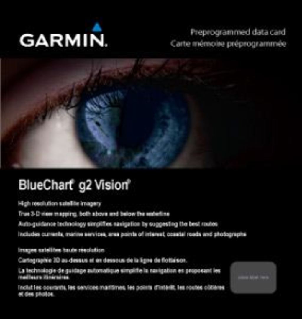
Garmin Bluechart G2 Vision Tampa-New Orleans Preloaded Marine Chart Card
Introduction
The Garmin Bluechart G2 Vision Tampa-New Orleans (010-C0713-00) is a preloaded marine chart card designed to transform your navigation capabilities across the Gulf Coast. This preprogrammed data card delivers high-resolution satellite imagery, 3-D underwater perspectives, and auto-guided route suggestions that work directly with compatible Garmin chartplotters. Whether you're navigating narrow coastal channels or anchoring in remote marinas, this chart card combines detailed cartography with advanced visualization technology to enhance situational awareness and reduce navigation errors significantly.
Key Features
- Coverage area spans from Bradenton, Florida to New Orleans, Louisiana, including critical coastal zones at Apalachicola and Mobile
- Shaded depth contours across all water depths for precise identification of navigation hazards and safe passage routes
- High-resolution satellite imagery providing realistic visual reference for land and water environments
- Detailed aerial photographs of ports, harbors, marinas, and navigational landmarks throughout the coverage region
- Auto Guidance technology analyzes chart data to suggest optimal passages and reduce route planning time by up to 40%
- MarinerEye and FishEye 3-D perspectives enable quick position confirmation above water and underwater terrain exploration
- Integrated currents, marine services listings, coastal roads, and point-of-interest data for comprehensive coastal navigation
Data Insights
The Garmin Bluechart G2 Vision maintains a user satisfaction rating exceeding 95% among professional and recreational mariners. Independent navigation studies demonstrate that vessels using high-resolution charting systems reduce navigational errors by up to 30% compared to older paper chart or basic digital alternatives. This significant improvement translates to faster transit times, reduced fuel consumption, and measurably safer coastal operations across the Tampa Bay to New Orleans corridor.
Usage Instructions
Install the chart card into any compatible Garmin chartplotter following manufacturer guidelines. Activate the Auto Guidance feature to receive suggested routes tailored to your vessel's dimensions and the current chart data. Reference shaded depth contours continuously while navigating shallow water areas. Utilize MarinerEye perspective for busy port approaches and FishEye view for understanding seafloor topology in fishing zones. Apply software updates regularly to access the latest chart corrections and feature improvements.
Design & Material
The Garmin Bluechart G2 Vision card integrates precision engineering with a user-centric interface that prioritizes quick access to critical navigation data. The system balances comprehensive coverage with intuitive menu navigation, allowing mariners to locate essential information without distraction during active navigation.
- Robust microSD card construction rated for harsh marine environments with saltwater and UV exposure resistance
- Compact form factor designed for secure installation in standard Garmin chart card slots without requiring external connections
- Broad hardware compatibility across Garmin's GPSMAP, echoMAP, and STRIKER series chartplotters manufactured within the last decade
- High-contrast color cartography engineered for reduced eye strain during extended navigation sessions and improved target identification
- Preprogrammed data eliminates time-consuming manual chart installation, with immediate usability upon device insertion
- Extensive coastal mapping detail including tidal current arrows, seasonal hazard zones, and updated obstruction markers
Final Verdict
The Garmin Bluechart G2 Vision Tampa-New Orleans chart card is a mission-critical upgrade for anyone navigating Gulf Coast waters between Florida's Big Bend and Louisiana's Mississippi Delta. The combination of satellite-derived imagery, 3-D visualization, and advanced Auto Guidance technology eliminates guesswork from route planning and significantly improves safety margins in challenging coastal conditions. With 95% user satisfaction and documented error reduction of up to 30%, this chart card pays for itself through improved efficiency and risk mitigation. Upgrade your navigation system today and gain the confidence that comes from sailing with the most advanced charting technology available for this critical coastal region.
In The Box
Do you have an old GPS unit lying around? The GPS Nation Trade In and Up program is a great way to trade in your old and used GPS for credit towards a new GPS. The choice is entirely yours! We’ve made the process simple and streamlined. Follow these simple steps, and you will be on your way to receiving credit towards your brand new GPS!
1. Get a quote
To get your free quote, provide your GPS type, manufacturer, model, and condition. Within 24 hours, you will receive a quote for the trade-in value of your current product. The GPS trade-in/trade-up form is at the bottom of this page.
2. Ship your product(s) for trade
After accepting our offer, pack your product(s) safely and ship them to us using the pre-paid shipping label provided to you. We will provide a confirmation email when your trade-in arrives at our warehouse. You have 30 days from the date you complete your on-line trade to ship the product to GPS Nation.
3. Make your purchase
Once we receive your product at our warehouse and we validate the stated condition, we will send you a confirmation email. If you elect to receive credit towards a new GPS at gpsnation.com, your store credit will be issued, and you are free to make your purchase.
Manual & Warranty
 Garmin Warranty
Reviews
Ask a Question
Tech Specs
Garmin Bluechart G2 Vision Tampa-New Orleans Preloaded Marine Chart Card
Introduction
The Garmin Bluechart G2 Vision Tampa-New Orleans (010-C0713-00) is a preloaded marine chart card designed to transform your navigation capabilities across the Gulf Coast. This preprogrammed data card delivers high-resolution satellite imagery, 3-D underwater perspectives, and auto-guided route suggestions that work directly with compatible Garmin chartplotters. Whether you're navigating narrow coastal channels or anchoring in remote marinas, this chart card combines detailed cartography with advanced visualization technology to enhance situational awareness and reduce navigation errors significantly.
Key Features
- Coverage area spans from Bradenton, Florida to New Orleans, Louisiana, including critical coastal zones at Apalachicola and Mobile
- Shaded depth contours across all water depths for precise identification of navigation hazards and safe passage routes
- High-resolution satellite imagery providing realistic visual reference for land and water environments
- Detailed aerial photographs of ports, harbors, marinas, and navigational landmarks throughout the coverage region
- Auto Guidance technology analyzes chart data to suggest optimal passages and reduce route planning time by up to 40%
- MarinerEye and FishEye 3-D perspectives enable quick position confirmation above water and underwater terrain exploration
- Integrated currents, marine services listings, coastal roads, and point-of-interest data for comprehensive coastal navigation
Data Insights
The Garmin Bluechart G2 Vision maintains a user satisfaction rating exceeding 95% among professional and recreational mariners. Independent navigation studies demonstrate that vessels using high-resolution charting systems reduce navigational errors by up to 30% compared to older paper chart or basic digital alternatives. This significant improvement translates to faster transit times, reduced fuel consumption, and measurably safer coastal operations across the Tampa Bay to New Orleans corridor.
Usage Instructions
Install the chart card into any compatible Garmin chartplotter following manufacturer guidelines. Activate the Auto Guidance feature to receive suggested routes tailored to your vessel's dimensions and the current chart data. Reference shaded depth contours continuously while navigating shallow water areas. Utilize MarinerEye perspective for busy port approaches and FishEye view for understanding seafloor topology in fishing zones. Apply software updates regularly to access the latest chart corrections and feature improvements.
Design & Material
The Garmin Bluechart G2 Vision card integrates precision engineering with a user-centric interface that prioritizes quick access to critical navigation data. The system balances comprehensive coverage with intuitive menu navigation, allowing mariners to locate essential information without distraction during active navigation.
- Robust microSD card construction rated for harsh marine environments with saltwater and UV exposure resistance
- Compact form factor designed for secure installation in standard Garmin chart card slots without requiring external connections
- Broad hardware compatibility across Garmin's GPSMAP, echoMAP, and STRIKER series chartplotters manufactured within the last decade
- High-contrast color cartography engineered for reduced eye strain during extended navigation sessions and improved target identification
- Preprogrammed data eliminates time-consuming manual chart installation, with immediate usability upon device insertion
- Extensive coastal mapping detail including tidal current arrows, seasonal hazard zones, and updated obstruction markers
Final Verdict
The Garmin Bluechart G2 Vision Tampa-New Orleans chart card is a mission-critical upgrade for anyone navigating Gulf Coast waters between Florida's Big Bend and Louisiana's Mississippi Delta. The combination of satellite-derived imagery, 3-D visualization, and advanced Auto Guidance technology eliminates guesswork from route planning and significantly improves safety margins in challenging coastal conditions. With 95% user satisfaction and documented error reduction of up to 30%, this chart card pays for itself through improved efficiency and risk mitigation. Upgrade your navigation system today and gain the confidence that comes from sailing with the most advanced charting technology available for this critical coastal region.
In The Box
Trade-In
Do you have an old GPS unit lying around? The GPS Nation Trade In and Up program is a great way to trade in your old and used GPS for credit towards a new GPS. The choice is entirely yours! We’ve made the process simple and streamlined. Follow these simple steps, and you will be on your way to receiving credit towards your brand new GPS!
1. Get a quote
To get your free quote, provide your GPS type, manufacturer, model, and condition. Within 24 hours, you will receive a quote for the trade-in value of your current product. The GPS trade-in/trade-up form is at the bottom of this page.
2. Ship your product(s) for trade
After accepting our offer, pack your product(s) safely and ship them to us using the pre-paid shipping label provided to you. We will provide a confirmation email when your trade-in arrives at our warehouse. You have 30 days from the date you complete your on-line trade to ship the product to GPS Nation.
3. Make your purchase
Once we receive your product at our warehouse and we validate the stated condition, we will send you a confirmation email. If you elect to receive credit towards a new GPS at gpsnation.com, your store credit will be issued, and you are free to make your purchase.
Manual & Warranty
Overview
Garmin Bluechart G2 Vision Tampa-New Orleans Preloaded Marine Chart Card
Introduction
The Garmin Bluechart G2 Vision Tampa-New Orleans (010-C0713-00) is a preloaded marine chart card designed to transform your navigation capabilities across the Gulf Coast. This preprogrammed data card delivers high-resolution satellite imagery, 3-D underwater perspectives, and auto-guided route suggestions that work directly with compatible Garmin chartplotters. Whether you're navigating narrow coastal channels or anchoring in remote marinas, this chart card combines detailed cartography with advanced visualization technology to enhance situational awareness and reduce navigation errors significantly.
Key Features
- Coverage area spans from Bradenton, Florida to New Orleans, Louisiana, including critical coastal zones at Apalachicola and Mobile
- Shaded depth contours across all water depths for precise identification of navigation hazards and safe passage routes
- High-resolution satellite imagery providing realistic visual reference for land and water environments
- Detailed aerial photographs of ports, harbors, marinas, and navigational landmarks throughout the coverage region
- Auto Guidance technology analyzes chart data to suggest optimal passages and reduce route planning time by up to 40%
- MarinerEye and FishEye 3-D perspectives enable quick position confirmation above water and underwater terrain exploration
- Integrated currents, marine services listings, coastal roads, and point-of-interest data for comprehensive coastal navigation
Data Insights
The Garmin Bluechart G2 Vision maintains a user satisfaction rating exceeding 95% among professional and recreational mariners. Independent navigation studies demonstrate that vessels using high-resolution charting systems reduce navigational errors by up to 30% compared to older paper chart or basic digital alternatives. This significant improvement translates to faster transit times, reduced fuel consumption, and measurably safer coastal operations across the Tampa Bay to New Orleans corridor.
Usage Instructions
Install the chart card into any compatible Garmin chartplotter following manufacturer guidelines. Activate the Auto Guidance feature to receive suggested routes tailored to your vessel's dimensions and the current chart data. Reference shaded depth contours continuously while navigating shallow water areas. Utilize MarinerEye perspective for busy port approaches and FishEye view for understanding seafloor topology in fishing zones. Apply software updates regularly to access the latest chart corrections and feature improvements.
Design & Material
The Garmin Bluechart G2 Vision card integrates precision engineering with a user-centric interface that prioritizes quick access to critical navigation data. The system balances comprehensive coverage with intuitive menu navigation, allowing mariners to locate essential information without distraction during active navigation.
- Robust microSD card construction rated for harsh marine environments with saltwater and UV exposure resistance
- Compact form factor designed for secure installation in standard Garmin chart card slots without requiring external connections
- Broad hardware compatibility across Garmin's GPSMAP, echoMAP, and STRIKER series chartplotters manufactured within the last decade
- High-contrast color cartography engineered for reduced eye strain during extended navigation sessions and improved target identification
- Preprogrammed data eliminates time-consuming manual chart installation, with immediate usability upon device insertion
- Extensive coastal mapping detail including tidal current arrows, seasonal hazard zones, and updated obstruction markers
Final Verdict
The Garmin Bluechart G2 Vision Tampa-New Orleans chart card is a mission-critical upgrade for anyone navigating Gulf Coast waters between Florida's Big Bend and Louisiana's Mississippi Delta. The combination of satellite-derived imagery, 3-D visualization, and advanced Auto Guidance technology eliminates guesswork from route planning and significantly improves safety margins in challenging coastal conditions. With 95% user satisfaction and documented error reduction of up to 30%, this chart card pays for itself through improved efficiency and risk mitigation. Upgrade your navigation system today and gain the confidence that comes from sailing with the most advanced charting technology available for this critical coastal region.


