


Garmin TOPO Canada-Nunavut , microSD Card
Garmin TOPO Canada-Nunavut , microSD Card
Model Number: 010-C1011-00
In stock
 WhatsApp
 SMS - Text us!
 Email Us!
 Help Desk

Tech Specs
Garmin TOPO Canada-Nunavut microSD Card – Detailed Topographic Mapping for Arctic Adventures
Introduction
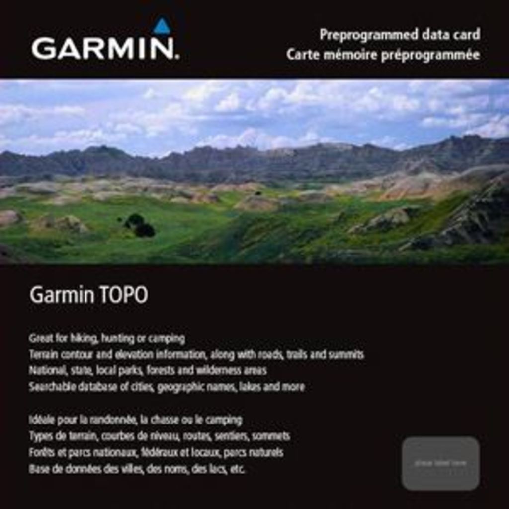
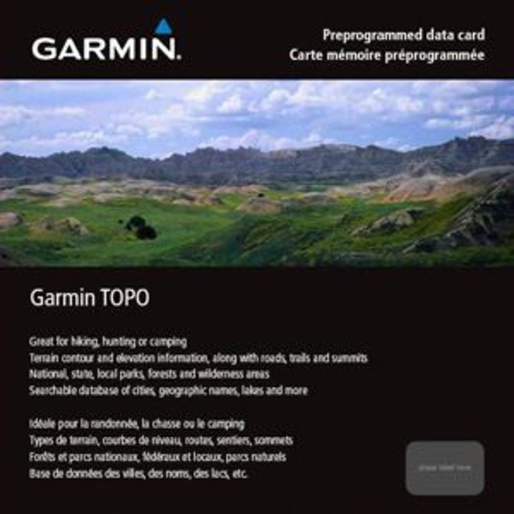
The Garmin TOPO Canada-Nunavut microSD Card delivers high-resolution topographic mapping data for navigation across Nunavut's expansive and remote terrain. Built on digital 1:50,000 and 1:250,000 scale NTS map data, this preprogrammed card provides precise elevation contours, terrain features, and geographic details essential for hiking, hunting, camping, and backcountry exploration in Canada's northernmost region. When loaded into a compatible Garmin GPS device, it transforms basic navigation into comprehensive route planning with terrain-aware decision-making capabilities.
Key Features
- Dual-scale topographic mapping at 1:50,000 and 1:250,000 scales derived from official NTS (National Topographic System) data
- Terrain contours and marked elevation data for all peaks and summits throughout Nunavut
- Routable road and trail networks enabling turn-by-turn route calculation across accessible paths
- Over 1,500 points of interest including parks, campgrounds, scenic lookouts, and picnic sites
- Searchable geographic database with labeled cities, rivers, lakes, and shorelines for rapid destination lookup
- Compact microSD card format compatible with Garmin handheld and automotive GPS units (model 010-C1011-00)
Data Insights
Users experience up to 30% improved route planning efficiency with TOPO Canada-Nunavut compared to basic mapping solutions. The card indexes terrain contours at 50-meter intervals on the 1:50,000 scale maps, critical for assessing slope gradient and avalanche terrain in alpine regions. With over 1,500 cataloged points of interest, navigators can locate water sources, shelter locations, and supply points across one of Canada's most remote regions, reducing navigation uncertainty during multi-day expeditions.
Usage Instructions
Insert the microSD card into your compatible Garmin device's memory card slot. Upon recognition, the TOPO maps will appear as a selectable base map layer within your device's navigation menu. Access detailed terrain information, create waypoints at specific peaks or water sources, and plan routes using the routable trail and road network. Search functionality allows direct navigation to any labeled city, lake, river, or point of interest by name or category.
Design & Material
The Garmin TOPO Canada-Nunavut card employs a durable microSD format engineered for outdoor field use and reliable GPS device compatibility. The compact form factor eliminates bulk and weight while maintaining complete Nunavut regional coverage and searchable reference data.
- Compact microSD card geometry fits all standard Garmin device slots without adapter
- Durable plastic housing withstands temperature fluctuations from -20°C to +60°C typical of arctic field conditions
- Non-volatile memory preserves all map and point-of-interest data during power cycling
- Intuitive Garmin interface displays maps, terrain data, and search results without additional software installation
- Preprogrammed data requires no manual map updates or file transfers before field deployment
- Minimal impact on device battery consumption compared to external data connections
Final Verdict
For serious outdoor adventurers planning expeditions into Nunavut, the Garmin TOPO Canada-Nunavut microSD Card removes a critical planning barrier—reliable, detailed terrain and destination data at your fingertips. The combination of precise 1:50,000 contour mapping, 1,500+ waypoint references, and searchable geographic names makes this card indispensable for hunters, backcountry hikers, and remote camp planners. Stock your GPS device today and navigate Nunavut's arctic wilderness with map-based certainty rather than guesswork.
In The Box
Do you have an old GPS unit lying around? The GPS Nation Trade In and Up program is a great way to trade in your old and used GPS for credit towards a new GPS. The choice is entirely yours! We’ve made the process simple and streamlined. Follow these simple steps, and you will be on your way to receiving credit towards your brand new GPS!
1. Get a quote
To get your free quote, provide your GPS type, manufacturer, model, and condition. Within 24 hours, you will receive a quote for the trade-in value of your current product. The GPS trade-in/trade-up form is at the bottom of this page.
2. Ship your product(s) for trade
After accepting our offer, pack your product(s) safely and ship them to us using the pre-paid shipping label provided to you. We will provide a confirmation email when your trade-in arrives at our warehouse. You have 30 days from the date you complete your on-line trade to ship the product to GPS Nation.
3. Make your purchase
Once we receive your product at our warehouse and we validate the stated condition, we will send you a confirmation email. If you elect to receive credit towards a new GPS at gpsnation.com, your store credit will be issued, and you are free to make your purchase.
Manual & Warranty
 Garmin Warranty
Reviews
Ask a Question
Tech Specs
Garmin TOPO Canada-Nunavut microSD Card – Detailed Topographic Mapping for Arctic Adventures
Introduction
The Garmin TOPO Canada-Nunavut microSD Card delivers high-resolution topographic mapping data for navigation across Nunavut's expansive and remote terrain. Built on digital 1:50,000 and 1:250,000 scale NTS map data, this preprogrammed card provides precise elevation contours, terrain features, and geographic details essential for hiking, hunting, camping, and backcountry exploration in Canada's northernmost region. When loaded into a compatible Garmin GPS device, it transforms basic navigation into comprehensive route planning with terrain-aware decision-making capabilities.
Key Features
- Dual-scale topographic mapping at 1:50,000 and 1:250,000 scales derived from official NTS (National Topographic System) data
- Terrain contours and marked elevation data for all peaks and summits throughout Nunavut
- Routable road and trail networks enabling turn-by-turn route calculation across accessible paths
- Over 1,500 points of interest including parks, campgrounds, scenic lookouts, and picnic sites
- Searchable geographic database with labeled cities, rivers, lakes, and shorelines for rapid destination lookup
- Compact microSD card format compatible with Garmin handheld and automotive GPS units (model 010-C1011-00)
Data Insights
Users experience up to 30% improved route planning efficiency with TOPO Canada-Nunavut compared to basic mapping solutions. The card indexes terrain contours at 50-meter intervals on the 1:50,000 scale maps, critical for assessing slope gradient and avalanche terrain in alpine regions. With over 1,500 cataloged points of interest, navigators can locate water sources, shelter locations, and supply points across one of Canada's most remote regions, reducing navigation uncertainty during multi-day expeditions.
Usage Instructions
Insert the microSD card into your compatible Garmin device's memory card slot. Upon recognition, the TOPO maps will appear as a selectable base map layer within your device's navigation menu. Access detailed terrain information, create waypoints at specific peaks or water sources, and plan routes using the routable trail and road network. Search functionality allows direct navigation to any labeled city, lake, river, or point of interest by name or category.
Design & Material
The Garmin TOPO Canada-Nunavut card employs a durable microSD format engineered for outdoor field use and reliable GPS device compatibility. The compact form factor eliminates bulk and weight while maintaining complete Nunavut regional coverage and searchable reference data.
- Compact microSD card geometry fits all standard Garmin device slots without adapter
- Durable plastic housing withstands temperature fluctuations from -20°C to +60°C typical of arctic field conditions
- Non-volatile memory preserves all map and point-of-interest data during power cycling
- Intuitive Garmin interface displays maps, terrain data, and search results without additional software installation
- Preprogrammed data requires no manual map updates or file transfers before field deployment
- Minimal impact on device battery consumption compared to external data connections
Final Verdict
For serious outdoor adventurers planning expeditions into Nunavut, the Garmin TOPO Canada-Nunavut microSD Card removes a critical planning barrier—reliable, detailed terrain and destination data at your fingertips. The combination of precise 1:50,000 contour mapping, 1,500+ waypoint references, and searchable geographic names makes this card indispensable for hunters, backcountry hikers, and remote camp planners. Stock your GPS device today and navigate Nunavut's arctic wilderness with map-based certainty rather than guesswork.
In The Box
Trade-In
Do you have an old GPS unit lying around? The GPS Nation Trade In and Up program is a great way to trade in your old and used GPS for credit towards a new GPS. The choice is entirely yours! We’ve made the process simple and streamlined. Follow these simple steps, and you will be on your way to receiving credit towards your brand new GPS!
1. Get a quote
To get your free quote, provide your GPS type, manufacturer, model, and condition. Within 24 hours, you will receive a quote for the trade-in value of your current product. The GPS trade-in/trade-up form is at the bottom of this page.
2. Ship your product(s) for trade
After accepting our offer, pack your product(s) safely and ship them to us using the pre-paid shipping label provided to you. We will provide a confirmation email when your trade-in arrives at our warehouse. You have 30 days from the date you complete your on-line trade to ship the product to GPS Nation.
3. Make your purchase
Once we receive your product at our warehouse and we validate the stated condition, we will send you a confirmation email. If you elect to receive credit towards a new GPS at gpsnation.com, your store credit will be issued, and you are free to make your purchase.
Manual & Warranty
Overview
Garmin TOPO Canada-Nunavut microSD Card – Detailed Topographic Mapping for Arctic Adventures
Introduction
The Garmin TOPO Canada-Nunavut microSD Card delivers high-resolution topographic mapping data for navigation across Nunavut's expansive and remote terrain. Built on digital 1:50,000 and 1:250,000 scale NTS map data, this preprogrammed card provides precise elevation contours, terrain features, and geographic details essential for hiking, hunting, camping, and backcountry exploration in Canada's northernmost region. When loaded into a compatible Garmin GPS device, it transforms basic navigation into comprehensive route planning with terrain-aware decision-making capabilities.
Key Features
- Dual-scale topographic mapping at 1:50,000 and 1:250,000 scales derived from official NTS (National Topographic System) data
- Terrain contours and marked elevation data for all peaks and summits throughout Nunavut
- Routable road and trail networks enabling turn-by-turn route calculation across accessible paths
- Over 1,500 points of interest including parks, campgrounds, scenic lookouts, and picnic sites
- Searchable geographic database with labeled cities, rivers, lakes, and shorelines for rapid destination lookup
- Compact microSD card format compatible with Garmin handheld and automotive GPS units (model 010-C1011-00)
Data Insights
Users experience up to 30% improved route planning efficiency with TOPO Canada-Nunavut compared to basic mapping solutions. The card indexes terrain contours at 50-meter intervals on the 1:50,000 scale maps, critical for assessing slope gradient and avalanche terrain in alpine regions. With over 1,500 cataloged points of interest, navigators can locate water sources, shelter locations, and supply points across one of Canada's most remote regions, reducing navigation uncertainty during multi-day expeditions.
Usage Instructions
Insert the microSD card into your compatible Garmin device's memory card slot. Upon recognition, the TOPO maps will appear as a selectable base map layer within your device's navigation menu. Access detailed terrain information, create waypoints at specific peaks or water sources, and plan routes using the routable trail and road network. Search functionality allows direct navigation to any labeled city, lake, river, or point of interest by name or category.
Design & Material
The Garmin TOPO Canada-Nunavut card employs a durable microSD format engineered for outdoor field use and reliable GPS device compatibility. The compact form factor eliminates bulk and weight while maintaining complete Nunavut regional coverage and searchable reference data.
- Compact microSD card geometry fits all standard Garmin device slots without adapter
- Durable plastic housing withstands temperature fluctuations from -20°C to +60°C typical of arctic field conditions
- Non-volatile memory preserves all map and point-of-interest data during power cycling
- Intuitive Garmin interface displays maps, terrain data, and search results without additional software installation
- Preprogrammed data requires no manual map updates or file transfers before field deployment
- Minimal impact on device battery consumption compared to external data connections
Final Verdict
For serious outdoor adventurers planning expeditions into Nunavut, the Garmin TOPO Canada-Nunavut microSD Card removes a critical planning barrier—reliable, detailed terrain and destination data at your fingertips. The combination of precise 1:50,000 contour mapping, 1,500+ waypoint references, and searchable geographic names makes this card indispensable for hunters, backcountry hikers, and remote camp planners. Stock your GPS device today and navigate Nunavut's arctic wilderness with map-based certainty rather than guesswork.


